

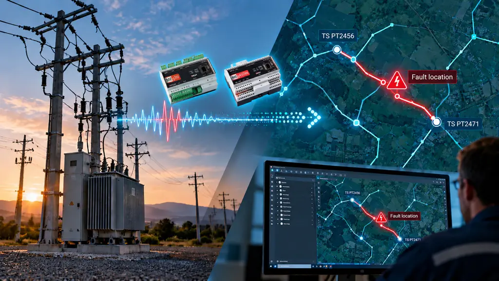
Locating a fault on a medium-voltage feeder has always meant the same slow sequence: a protection trip, a round of switching to isolate the section, and a field crew driving the line to find the actual break. MEgA and Pontech are changing that sequence – not by adding another measurement device to the substation, but with fault localization software developed by MEgA that turns readings already being collected into an exact location on the operator’s own network map.
The hardware is not the hard part
Voltage and power quality analyzers are a mature market – several manufacturers, MEgA’s MEg39 and MEg45 among them, produce reliable instruments for compensated MV networks. What none of them do on their own is tell an operator where a fault is. That is a software problem: correlating GPS-synchronized voltage signatures from multiple points on a feeder, recognizing the fault pattern, and calculating a probable location. This is the layer MEgA builds on top of the measurement hardware – and it is what actually determines whether a DSO gets a distance estimate or an actionable answer.
From an estimate to a map reference
Software that only outputs a distance – “fault, 4.7 km out on Feeder 12” – still leaves the operator guessing which stretch of cable to check. The MEgA software goes one step further: it feeds the calculated location into the network’s GIS model and identifies the actual network section, with an accuracy of up to 500 meters under certain device installation conditions – for example: “check the section between poles 160 and 170”. That is the difference between a number in a report and a map reference a dispatcher can act on in seconds, translating directly into fewer switching operations and a shorter search area for the field crew.
Built to run on existing infrastructure
Because the software works from voltage measurements rather than dedicated fault-detection hardware, it can run on analyzers already installed in the network – including on the LV side of MV/LV transformers – without requiring a new device at every monitoring point. The same data feed can also support power quality monitoring and early detection of recurring problem sections, so one measurement layer serves several operational purposes.
Pontech’s role
This is where our GIS and utility-network expertise adds value: Pontech provides the GIS environment and the network map in which MEgA’s fault-localization results are displayed and interpreted. We connect the result generated by MEgA to the operator’s actual network model, automatically placing the calculated fault location on the map and identifying the corresponding network section.
For distribution operators that already maintain a detailed GIS, this means the fault-localization result isn’t a separate report to interpret – it is presented directly within the GIS environment and network map they already use every day.
If you need more technical details, please contact us !